Advanced Metal Detecting for the Archaeologist (AMDA) presented its 13th class offering, in Charleston, South Carolina, on 9-11 November 2018. The Charleston Museum was the local partner for this class. Charleston Museum staff Martha Zierden, Curator of Historical Archaeology, Ron Anthony, Archaeologist, and Grahame Long, Chief Curator, presented on the history of the Dill Property and provided logistical support. The classroom portion of the class was held at the Charleston Museum.
The Dill Sanctuary had many uses during the 18th and 19th century. It was a plantation and slave quarters, saw British and Hessian soldier occupation during the American Revolutionary War, as well as fortifications and camps during the Civil War.
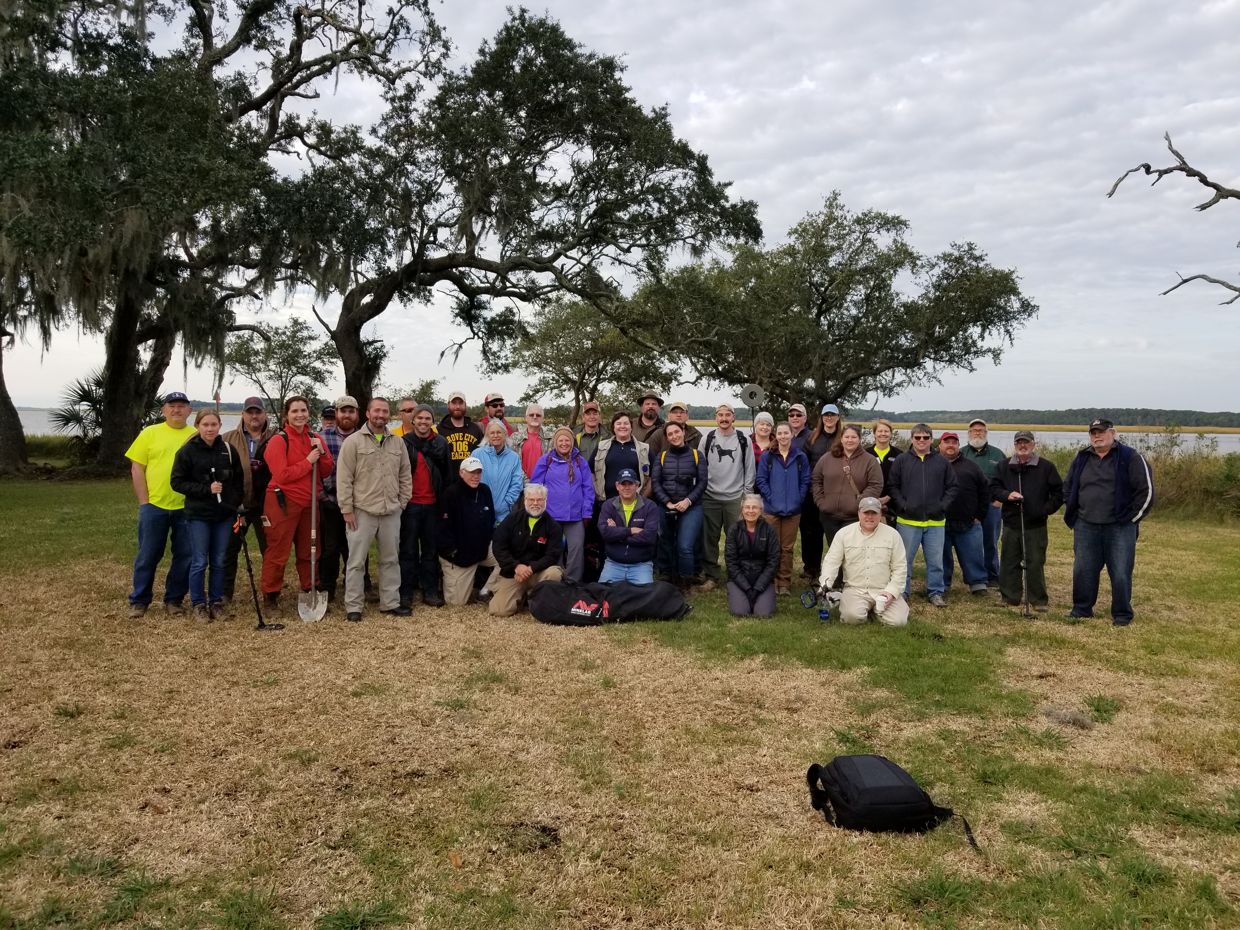
Thirty archaeologists from across the East Coast and AMDA 10 instructors conducted a controlled survey of Battery Pringle and Battery Tynes at the Museum’s Dill Sanctuary, with a walkover survey of the Turquette plantation field and selected areas of Stono Plantation. Over 500 artifacts were recorded, and many were excavated for the Museum’s permanent collections. The survey of Battery Pringle, the principal site, revealed numerous friction primers, shrapnel from mortars, and a cloud of nails near the rear of the parade grounds, suggesting a building or supply of materials was impacted by incoming shells.
Battery Pringle was constructed in 1863 by General P.G.T. Beauregard as part of the James Island Siege Line. As the western terminus of this line, Fort Pringle commanded the Stono River, John’s Island and lower James Island. It was designed to prevent naval forces from ascending to the Stono River as well as land forces from attacking up James Island or along the Stono River on John’s Island. Fort Pringle was named for Capt. Pringle, Lucas Battalion South Carolina Regular Artillery, killed on Morris Island in 1863. In 1863 Fort Pringle became the site of some of the heaviest artillery attacks made by the Union fleet during the battle for James Island. Fort Pringle mounted nine heavy cannons at the war’s end. The large enclosed earthwork is currently covered with a heavy growth of secondary vegetation. The earthwork itself is polygonal with the river face measuring approximately 360 feet, the right or upstream face 160 feet, the left or downstream face 400 feet and the rear face approximately 520 feet in length. The downstream and river front parapet ranges from 7.5 to 12.5 feet in height. The bombproof is approximately 15 feet high and the powder magazine about 12.5 feet tall.
AMDA is certified under the Register of Professional Archaeologists’ continuing professional education program. The goal of the class is to provide professional archaeologists with an understanding of current best practices in metal detecting, and to provide the opportunity to gain hands-on experience with a variety of devices from a variety of manufacturers.